 TheTechMedia.com/wp-content/uploads/2021/02/BOTANICAL_GARDEN__OOTY2-300×225.jpg 300w, https://TheTechMedia.com/wp-content/uploads/2021/02/BOTANICAL_GARDEN__OOTY2-768×576.jpg 768w, https://TheTechMedia.com/wp-content/uploads/2021/02/BOTANICAL_GARDEN__OOTY2-800×600.jpg 800w, https://TheTechMedia.com/wp-content/uploads/2021/02/BOTANICAL_GARDEN__OOTY2-1160×870.jpg 1160w, https://TheTechMedia.com/wp-content/uploads/2021/02/BOTANICAL_GARDEN__OOTY2.jpg 1280w” sizes=”(max-width: 1024px) 100vw, 1024px”>
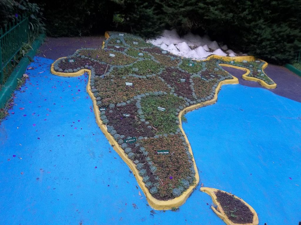
The days of Indian companies seeking licenses to create and publish maps and geographical information are over. Local companies in India will no longer need a license or similar permissions to gather, generate, store and share geospatial information of the country, the government said on Monday. This move by the Narendra Modi-led government is the latest among many others as a part of Modi’s Aatmanirbhar Bharat mission.
Till Sunday, Indian firms were required to obtain a license to gather topographical information. Additionally, the country is currently reliant on foreign resources for mapping technology and services.
According to the guidelines released by the government, “liberalization of the mapping industry and democratization of existing datasets will spur domestic innovation and enable Indian companies to compete in the global mapping ecosystem by leveraging modern geospatial technologies. Locally available and locally relevant Maps and Geospatial Data would also help in improved planning and management of resources and better serve the specific needs of the Indian population.” The Prime Minister added that the “deregulation” step was a step to turn the nation more self-reliant and attain the vision of a five-trillion dollar economy.
In the statement, the government mentioned that the rules that applied to geospatial information and maps would henceforth be radically liberalized. “The Division of Science and Know-how is saying sweeping modifications to India’s mapping coverage, particularly for Indian firms. What’s available globally doesn’t have to be restricted in India and subsequently, geospatial information that was once restricted will now be freely obtainable in India.”
This move comes after India’s premier space agency ISRO and MapmyIndia (a firm dealing in producing digital maps and advanced geospatial technology products) announced that they were partnering up to create an alternative to Google Maps and Earth. The lift on restrictions is supposed to help India develop infrastructure and improve the delivery of public service.
“It will create unprecedented value for the Indian economy and society,” said Rohan Verma, CEO of MapmyIndia. “Agriculture, healthcare, finance, income, logistics, transportation, technology, trade and many other sectors – that’s 70 percent of India’s GDP.” He added that it opened up new maps and geospatial sectors to usher in the self-reliance period in “strategic areas of maps to empower all 1.3 billion Indians and provides unprecedented alternatives and development for Indian firms.”
The statement also mentioned that local firms would be granted entry to “floor truthing/verification” that features entry to Indian floor stations and augmentation companies for real-time positioning, as well as access to terrestrial cellular mapping survey, avenue view survey, and surveying in Indian territorial waters.
“International firms and overseas owned or managed Indian firms can license from Indian Entities digital Maps/Geospatial Information of spatial accuracy/worth finer than the brink worth just for the aim of serving their prospects in India. Entry to such Maps/Geospatial Information shall solely be made obtainable via APIs that don’t permit Maps/Geospatial Information to go via Licensee Firm or its servers. Re-use or resale of such map information by licensees shall be prohibited,” the rules added.
Pranay Kotasthane, head of research at the Takshashila Institute, said, “This will make it easier to get maps of India’s political boundaries in digital form on the Internet.”
Modi, after the announcement, said that the reforms would unlock great alternatives for our nation’s start-ups, personal sector, public sector, and analysis establishments to drive improvements and construct scalable options. India’s farmers may also benefit by leveraging the potential of geospatial & distant sensing information, according to the PM, whose government is currently at odds with farmers around the country.
“Democratizing information will allow the rise of recent applied sciences & platforms that may drive efficiencies in agriculture and allied sectors. These reforms reveal our dedication to bettering ease of doing enterprise in India by deregulation.”


